Antique Map of the Russian Alaska East New Britain Canada Greenland America 1846
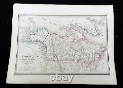
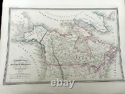
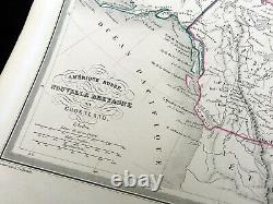
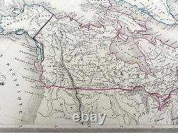
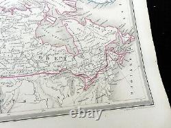
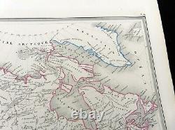
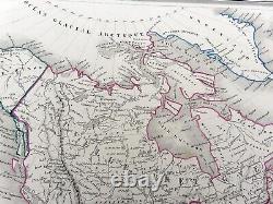



Original Antique French Edition Map from. Géographie : complète et universelle' Folio Map Published by Garnier Frères, Paris France. DATE PRINTED: 1846 - The Map itself is undated.
37.5cm x 29cm Approx Approx. TYPE : Antique map Hand Coloured Copperplate Engraving.
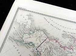
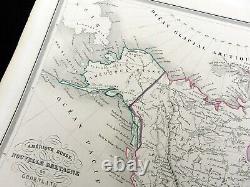
CONDITION: Good, perfectly suitable for framing, Given the fact this map is over 170 years old, there are Signs of age marks yellowing and potential marks / spots / stains / foxing ink and pencil marks / notes. Pre folded and creased, Please review the outer edges, as this is where most of signs of age is likely to appear.Potentially some small aged tape repairs to some maps. You will receive the item pictured, so the pictures are integral to the condition report and listing. Virtually all antiquarian maps and prints are subject to some normal aging due to use and time.
This is an folio map from the French Edition'Géographie : complète et universelle' Folio Map Published by Garnier Frères, Paris France. As its was published in Paris, all text is in French. As this is an antique map - there may printing irregularities / cantering issues as is common with old maps, since these were hand printed.AUTHENTICITY : This is an authentic historic map, published at the date stated above. It is not a modern copy.
VERSO : see pictures for confirmation - you will receive the item pictured. This item is in the category "Antiques\Maps, Atlases & Globes\World Maps".london" and is located in this country: GB. This item can be shipped worldwide.- Map View: World
- Cartographer/Publisher: MALTE-BRUN, Victor Adolphe (1816-1889).
- Printing Technique: Copper Plate
- Original/Reproduction: Antique Original
- Language: French
- Approx Size when Unfolded: 37.5cm x 29cm Approx
- Printing House: Garnier Frères
- Format: Atlas Map
- Style: Original Hand Coloured Engraving
- Type: Political Map
- Year: 1846
- Antique: Yes
- Date Range: 1800-1899
- Era: 1800s


