
- Index
- Brand
- Adidas (33)
- Auto World (14)
- Bandai (16)
- Barbie (20)
- Blizzard (15)
- Brio (23)
- C-mon (11)
- Canvas Geeks (63)
- Charlie Bears (30)
- Cool Mini Or Not (14)
- Disney (76)
- Fantasy Flight Games (19)
- Games Workshop (35)
- Lego (24)
- Mattel (106)
- Nintendo (70)
- Playmates Toys (18)
- Royal Doulton (17)
- Stanley Gibbons (14)
- Threea (12)
- Other (3941)
- Features
- 1st Edition (7)
- Booster (10)
- Boxed (18)
- Chrome Trim (6)
- Collector's Edition (104)
- Framed (65)
- Illustrated (5)
- Interactive (5)
- Kickstand (5)
- Laminated (6)
- Limited Edition (14)
- Lot (14)
- Manual Included (5)
- Manufactured (13)
- Picture Disc (9)
- Pink Label (8)
- Sealed (10)
- Signed (6)
- Vintage (6)
- Wi-fi Capability (5)
- Other (4250)
- Industry
- Packaging
- Subject
- Americana (6)
- Archaeology (5)
- Art & Photography (9)
- Business (8)
- Exploration & Travel (15)
- Fantasy (4)
- Government (22)
- History (78)
- Literature & Fiction (43)
- Map (36)
- Maps (34)
- Men's (6)
- Military & War (6)
- Multiple (4)
- New York (18)
- Reference (9)
- Science & Medicine (5)
- Science Fiction (4)
- Travel & Maps (5)
- Writing & Reading (16)
- Other (4238)
- Type
- Action Figure (57)
- Album (43)
- Artist Bear (13)
- Banknotes (14)
- Book (13)
- Complete Game (16)
- Complete Set (13)
- Doll (16)
- Fanclub Memorabilia (13)
- Fashion Doll (31)
- Figurine (25)
- Game Board (23)
- Handheld System (50)
- Hardback (18)
- Poster (23)
- Print (63)
- Reference (17)
- Textbook (173)
- Trainer (12)
- World Atlas (17)
- Other (3921)
Large Johnson's New Illustrated Family Atlas Of The World withDescriptions 1867
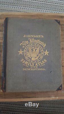
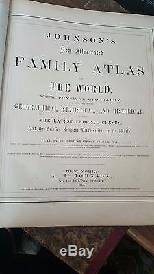
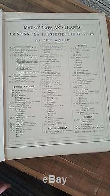
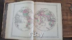
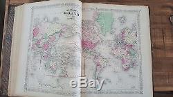
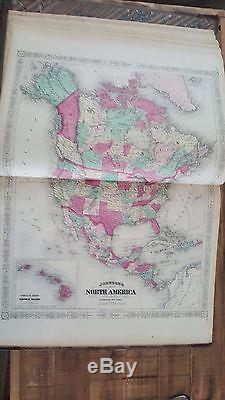
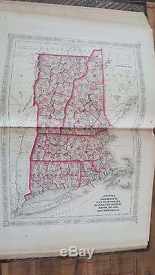
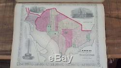
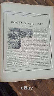
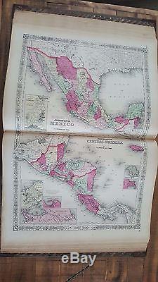
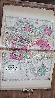
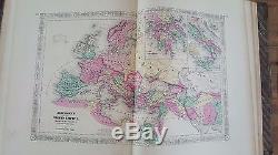


Up for sale is a phenomenal 1867 "JOHNSON'S NEW ILLUSTRATED FAMILY ATLAS OF THE WORLD" With Physical Geography, And With Descriptions Geographical, Statistical, And Historical, Including The Latest Federal Census, And The Existing Religious Denominations in the World. Text by Richard Swainson Fisher, M. Published in 1867 by A. The full page colored maps measure approximately 26" x 18", including the border area. When shut, the book measures approximately 15" x 19".
Besides the beautiful maps, the book has many other great features - the geography of each continent, historical and statistical information, a chronological history of the great rebellion (Civil War), an alphabetical listing of the Cities Of The World (townships and towns of the US and remainder of the world) - with their populations, Distances Between Important Places, Images of the Coats of Armour for each state (only 34 states at the time), Religious Denominations In The World, Images of National Flags, and much more! Overall this atlas and the maps are in nice shape. The partial leather boards have issues with wear, stains, discoloration and scuffing. The spine has some rips and the leather is rubbed. The interior maps and charts all seem to be present and generally in nice shape.
There is some browning and discoloration. Most of the issues are to the boarder areas of the maps and pages - with browning and some nicks/chips and stains.
The actual maps are not hugely affected, but do have some spotting and browning. There are some pressed leaves between some of the pages that were left by a previous owner.
These have causes some foxing and heavier browning to those pages. Many of the pages have creases in the corners, and nicks/chips along the edges. Most of the maps are full pages - with a crease up the middle from the center of the book. The item "Large Johnson's New Illustrated Family Atlas Of The World withDescriptions 1867" is in sale since Thursday, June 15, 2017.
This item is in the category "Antiques\Maps, Atlases & Globes\North America Maps". The seller is "book14850" and is located in Rockville, Maryland. This item can be shipped worldwide.
